Taxonomy upgrade extras
Atlanta, Georgia
Words by Chris Micallef
Riding Bear Creek for the first time with my 10-year-old son recently brought back memories of when I began visiting the trail almost 20 years ago—before bikes had shock absorbers, disk brakes, or clipless pedals. GPS? Must’ve been some weird trail name we’d not yet figured out. All I cared about was making the trip every weekend to test man and machine against some real hills, and then maybe stop off to sample some of Col. Poole’s finest barbecue at the Taj-Ma-Hog.
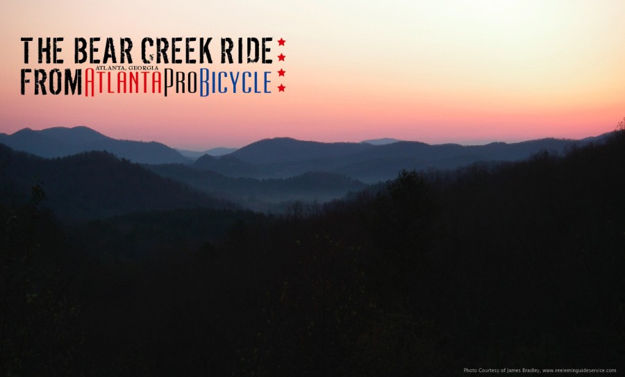
The best part is that Bear Creek is a real mountain bike trail just an hour from Atlanta, which seems impossible at best, It has remained relatively unchanged over time, with the exception of some minor landscaping courtesy of a couple of hurricanes. Winding up through true mountains, with dramatic elevation changes and beautiful vistas, you’re far removed from the highway drone, sirens, and police helicopters of the city. The trail is 12 miles north-northwest of Ellijay in north central Georgia, and if you’re willing to do a little car camping (spots are available just a mile from the trailhead), a night ride is a perfect kick-off to your weekend. On a weekday, you’ll probably have it to yourself, and if you start before 10am on the weekend, you’re not likely to see anyone until you’re on the return leg.
Getting There
Take Ga. 52 west from Ellijay for five miles. Turn right onto Gates Chapel Road and go about five miles. Turn right on Forest Service Road 241. A small parking lot about two miles down gives access to the trail or drive in the gravel road and park at the trailhead. Hunting occurs in the area, as it is part of the Chattahoochee National Forest, so check with the Cohutta forest ranger station during season (706-695-6736).
The Ride
There is a formal trailhead for Bear Creek, but if you park off the side of the road on the way in, you can get a nice warm up on the gravel road before hitting the trail. A little more than a mile into the ride, the road forks—take a left to the trail (right leads to the campground). About two miles in, the gravel ends and you’ll reach the Lower Bear Creek trailhead. In the next mile, you’ll cross Little Bear Creek and then Bear Creek, teeming with cascading waterfalls, lush vegetation, and even the creek’s hairy namesake if you’re paying attention. One thing you can’t miss: the Gennett poplar—it’s over 400 years old and massive. Hug a tree, and then you’ve got a decision to make.
Soon afterward, you’ll have a right-hand turn that many use to make this a looped ride, but we prefer to stick straight ahead and finish off the last few miles of climbing so we’ve got more to go down when we’re done. The trail leaves Bear Creek, and heads into a well-worn double set of whoops, where the trees give way to a field momentarily. In another quarter mile, you’ll come to a gate. Take a left (a right will take you onto the Bear Creek Loop yet again) and follow the double track to Forest Service Road 68, where a right turn will take you to the overlook, which is well worth the trip. (If you’re still feeling spunky, about four miles up F.S. 68 is the “Potato Patch,” where you can head either left or right for more fun on the Windy Gap or Mountain Town Creek trails).
Once you reach the overlook, re-hydrate and catch your breath while you take in the scenery. Time to tighten your chinstrap, turn around, and collect your reward for all the climbing. That hour or so of suffering is about to pay off in 20 minutes of downhill desert. (It’s so good, some people go straight to dessert and just shuttle the trail instead, but I’m not advocating that…) Numerous water breaks, rock and stones allow for plenty of airtime… Last one down buys the barbecue!
Photo Courtesy of James Bradley, www.reeleminguideservice.com