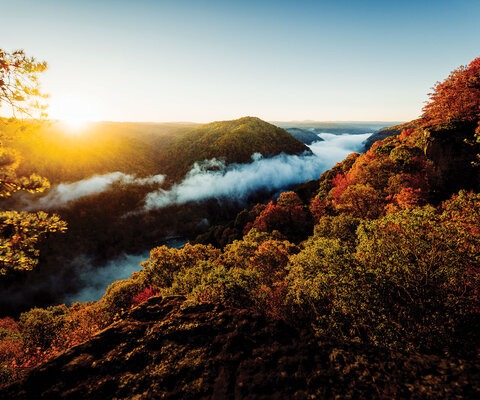

Resting calmly at the base of the eastern Cascade Foothills, straddling the Deschutes River as it tumbles over lava rock in Central Oregon’s high desert, the town of Bend has a split personality.
The river forms a dividing line between mature ponderosa forest to the west, with sage, juniper and grasses fading east into the desert. The west side of town is all about recreation, with trailheads, river access and snowy peaks. On the east side are sprawling neighborhoods, light industry, ranching and a Wild West way of life.
With some of the earliest known evidence of human habitation in North America just 100 miles to the southeast at Paisley Caves, humans have been enjoying the relative ease of travel through Oregon’s high desert for 14,000 years. Fast forward to the 19th century, when early settlers found a rare ford of the river at a place that came to be known as Farewell Bend, and progress as we now measure it began.
The first sawmill was built near Pilot Butte in 1901 and the town grew quickly on the back of the timber industry. This boom continued for decades before tapering off in the 1980s and 1990s. At that time, Bend’s personality began to shift, as many mountain towns have, toward a recreation-based economy that is still supported by the timber industry, as exponential population growth continues to drive the housing sector.
I first rolled into Bend from my home state of Maine in the winter of 2002 as a young cross-country racer aspiring to a professional career. A friend from the racing community back home, Tim Jones, had couch space, and claimed that despite being at the same latitude as Maine, the winters were mild enough—suitable for training miles. My first January week in Bend was a sunny 50 degrees and we rode our asses off. I remember our first outing from Tim’s door on Federal Street. Within blocks we began ducking in and out of neighborhood singletrack and were soon in the Deschutes National Forest, riding magically flowing ribbons of trail for hours. While the mountain snow prevented us from climbing to the apex of the stacked loop system at nearly 7,000 feet of elevation, our return down the classic Phil’s Canyon made it clear I should stay.
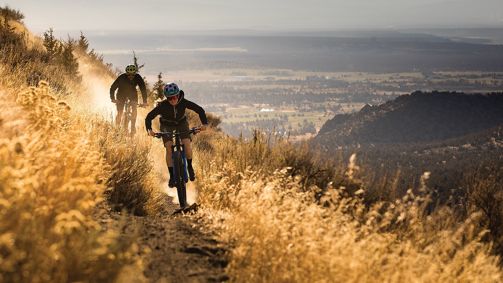
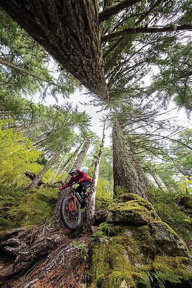
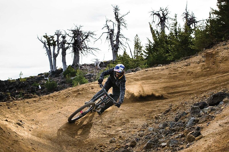
The next winter, I was ready for some hard training, but it snowed. A lot. Fortunately, just north or east of Bend proper, the excellent off-season riding on Bureau of Land Management (BLM) holdings gave me an outlet. Many locals prefer these steeper, rugged desert trails, which loop over, around and through jagged, janky lava rock. Frost, rain and snow compact the sand between these rock gardens, creating sublime grip for swooping, cambered turns through the ancient juniper forest. The periodic presence of angular rocks is a constant skill builder, and the juniper are much less forgiving than the ponderosa.
Mountain biking started to take hold here in the early 1980s with events such as the Cascade Cruise, a point-to-point race from Mount Bachelor through the Cascades and eventually down to Shevlin Park.
“The Cruise was my first MTB race, in 1984,” Bend local and Single Speed World Champion Carl Decker says. “It would sound impressive that I raced it at the age of 9 if my brother hadn’t raced the same day at the age of 7. Our Schwinn Predators had three-speed hubs though, so we were prepared, I guess.
“In over 30 miles, I can’t recall one mile of singletrack, as there weren’t many mountain bike trails in town. Today, there are more singletrack trails than roads in those same woods west of Bend.”
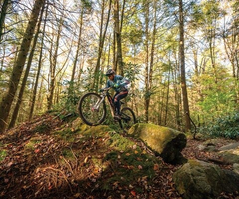
Throughout the 1980s, a small but passionate group of riders began appreciating the ease with which trails could be raked and ridden in through the mature ponderosa forests, but eventually federal land managers caught on to the illicit trailbuilding. The conversation that followed resulted in a successful effort by the burgeoning mountain bike community to organize and address user-built trails on public lands, and in 1992 the Central Oregon Trail Alliance (COTA) was formed. Since then, COTA has managed the riding here gently and intentionally. Working closely with land managers, the club has been able to consistently maintain and develop riding opportunities, keeping pace with our sport as it has grown and progressed.
With broad support from the community and other user groups, COTA has grown strong enough to hire a full-time executive director, Oregon’s first fully paid mountain bike advocacy staff member. Emmy Andrews, who took up the post in January of this year, is a progressive, passionate member of the Bend riding community. Rallying behind her is a hard-working board of directors and the hundreds of volunteers who come out of the woodwork for dig days.
“Being COTA’s executive director is such a privilege, but COTA’s donors, board members and other volunteers are the true backbone of our success,” Andrews says. “Our board members and volunteers log over 7,000 hours a year building and maintaining trails, planning for new trails and doing all the associated administrative work. The amount of work they do for COTA is phenomenal.”
As the Phil’s Trail area has become busy with locals, tourists and countless new riders who love the approachable terrain, demand for more progressive resources has grown. New trail development in the Wanoga Butte area during the late 2000s provided much-needed experiences for those wanting to test their modern full-suspension bikes on jumps, drops and egregiously technical lava rock features.
Currently, COTA is working to connect the southern community of Sunriver to the Wanoga trail system while also managing critical wildlife access to the Deschutes River. Working with biologists from the United States Forest Service, a solution was developed to support these trailbuilding efforts. The essence is that existing roads and trails divide wildlife habitat, modifying their behavior. By taking inventory of the existing infrastructure, they have been able to decommission some routes while providing for new development within corridors established by others. This approach has allowed COTA and the Forest Service to expand the winter range for elk and deer while also growing recreational access.
After building robust relationships locally, COTA has established a chapter program to manage and develop resources throughout Central Oregon. Chapters in Madras, Redmond, Crook County, Sisters and Southern Deschutes County are all gaining momentum.
The brightest prospect among the chapters is happening northeast of Bend, in Crook County, where the Ochoco National Forest has amazing old-school trails with breathtaking summit overlooks feeding incredible descents through beautiful, mature yellow-belly pine forests. In order to guide development in the area, the Ochoco Trails collaborative was formed by various stakeholders, including nonmotorized trail groups, the Forest Service, the Prineville Chamber of Commerce and Portland-based conservation group Oregon Wild. The coalition has identified Lemon Gulch, east of Prineville, as suitable for the creation of a modern, shuttleable trail network.
A portion of the network will be designed for those accessing the outdoors via adaptive mountain bikes. Travis Holman, a board member of the Crook County Chapter, has been involved throughout the process, including the flagging of the planned network for environmental assessment.
“The Ochocos are already home to one of the best long descents in Oregon,” Holman says. “With the addition of the Lemon Gulch network there is enormous potential for this to be a destination for PNW mountain biking. The steep, rocky terrain and shuttle access will provide a unique and sought-after experience for both local and visiting riders.”
As the Bend housing market continues to grow and become more competitive, many working families are being displaced to satellite communities like Prineville in search of affordable living. The work of COTA’s chapters could ease that transition for passionate riders who are being displaced by providing them with accessible new trails.
“Trail planning and building is going on in all six of COTA’s chapters right now,” Andrews says. “While the trail network west of Bend is fairly mature at this point, we are going to see lots of new trail miles in the coming years thanks to the efforts of our other chapters.”
Before the COTA chapter program, Bend’s Big Fat Tour (BBFT) was a catalyst for exploring the surrounding area by mountain bike. As the forefathers of Bend’s mountain bike community ventured beyond the west-side trails in search of adventure, the seed of an idea was sown. In the mid-1990s, Mountain Bike Hall of Fame member Paul “T-Berg” Thomasberg began exploring the surrounding ranges toward the end of his racing career. In an effort to bring the camaraderie of racing to a noncompetitive event, he helped create the BBFT (1996-2014) as an annual, end-of-season, mountain bike family get-together.
For each edition, the BBFT crew would put together unique, underrated rides within an hour of Bend. Aid stations along the route kept riders fed, warm and entertained. The three days of riding varied from long to stupid long, culminating in Sunday’s “mellow” 25-mile Hangover Ride, finishing with an awesome luge downhill. Needless to say, whining was not a welcome expression on the BBFT.
“We watched the BBFT grow organically, driven by passion and word of mouth, from 30 riders to 250,” says Anna Vaca, a longtime BBFT rider, racer and trailbuilder. “And I call every single person a friend. Some of these folks are my very best friends. I even met my husband at the Big Fat Tour!”
A regular stop on the Big Fat Tour was in the northern tenure of the Redmond Chapter, on a lesser-known trail network extending from the BLM’s Skull Hollow Trailhead. This narrow, rocky canyon was an alternate to the braided Oregon Trail wagon route through Central Oregon, and it is widely known as the site of an 1845 massacre of 23 families traveling along the route toward the Willamette Valley to the west. Thereafter, it was known as Skull Hollow, and for the next century it was not uncommon to find human or wagon remains there.
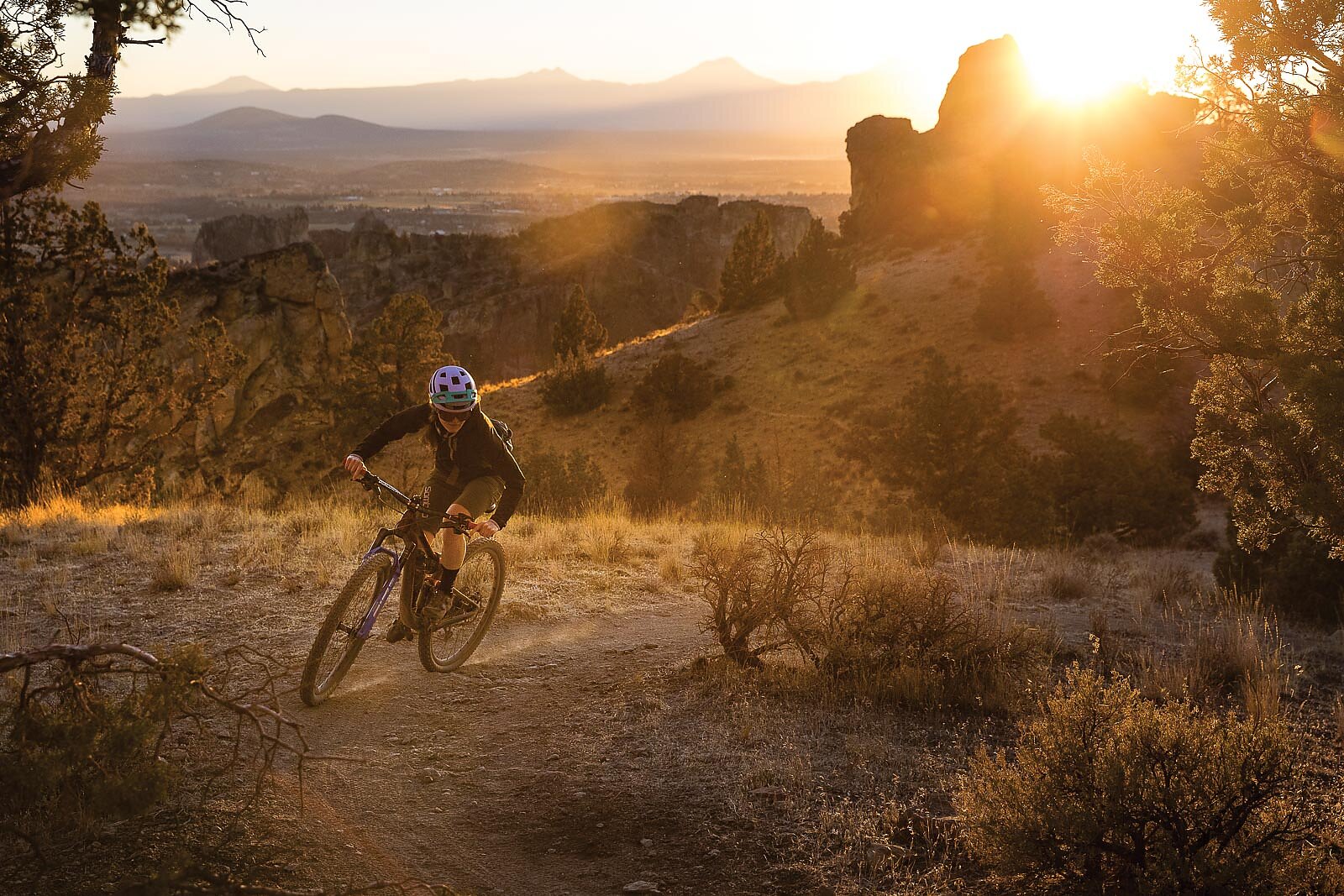
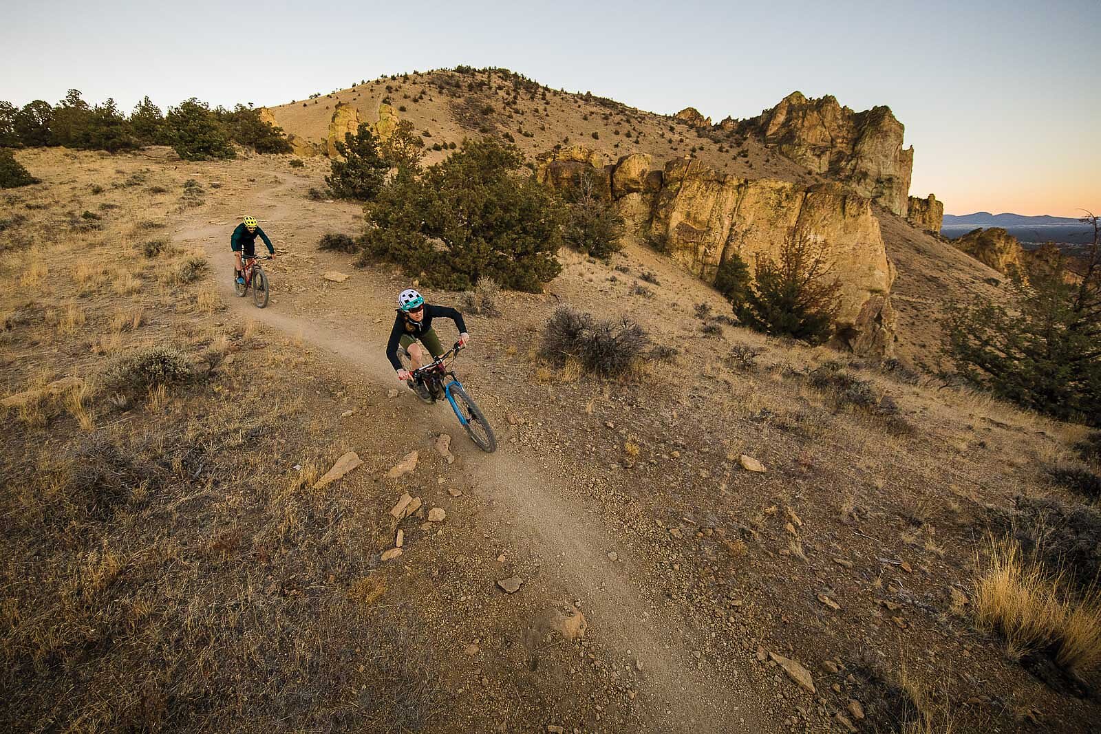
Nowadays, it’s the kind of place where a certain urgency to push on the pedals cannot be ignored—especially on a dark, foggy winter day. With enough revolutions, riders warm up while climbing beautiful bench-cut singletrack through juniper and sage, eventually rising above the fog with a little luck. From the shoulders of Gray Butte, the views across irrigated agricultural land and west to the snowcapped Cascade volcanoes are stunning. In keeping with the Wild West theme, the trails around Gray Butte are multi-use and see regular equestrian traffic. Thankfully, excellent sight lines and open landscape make for high-speed, dirt-surfing fun, with perfect berms created by hooved traffic. These big views support riders’ need for speed, while also allowing them to identify horse traffic early enough for a pleasant “Hello,” in keeping with COTA’s “Trail Love” theme.
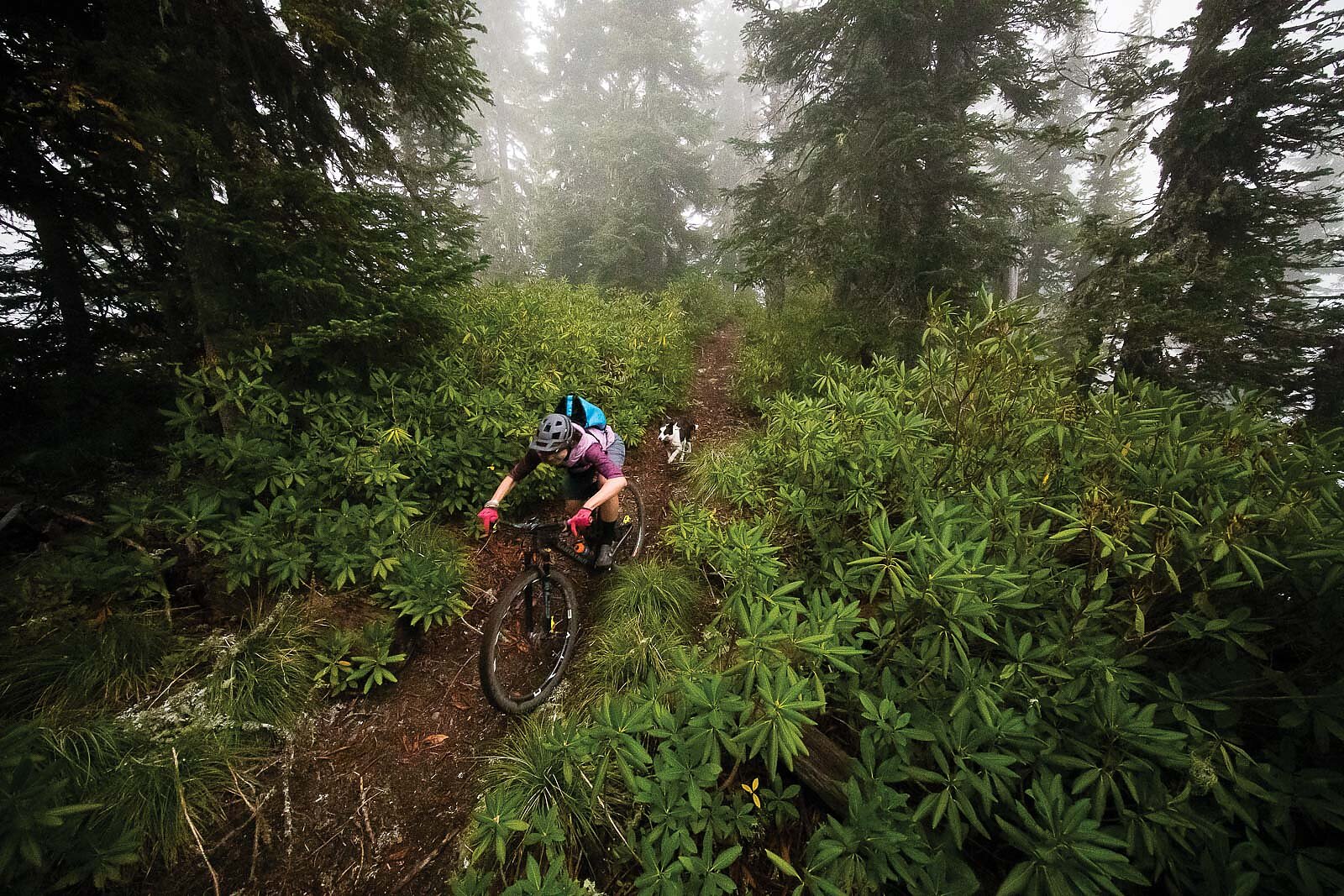
From Gray Butte, one can almost see the border of the Deschutes and Willamette National forests, straddling the Cascades. The west slope of the Cascades receives roughly 10 times the rainfall that Central Oregon typically gets, which made the Willamette the most productive national forest during the timber boom. Thanks to the logging infrastructure and a modest amount of associated funding for recreational development, the Willamette now has an amazing network of rugged back-country trails that lend themselves to an endless game of hide and seek among the towering Douglas fir, which cling to steep, mossy mountainsides along this range’s timeworn west slope.
With the close of the Timber Wars and the decline of logging on federal land, resources to maintain the vast trail network have dipped dramatically, and many trails are disappearing. But in the summer of 2017, Trans-Cascadia focused its backcountry trail stewardship efforts on a forgotten corner of the Willamette, uncovering 50 miles of historic trail to be enjoyed by the participants of the Trans-Cascadia Enduro Race; a contemporary version of the Big Fat Tour. Now these trails are available for weekend trips from Central Oregon, giving Bend-area riders a welcome chance to feel their tires dig into the deep duff of the rainy side.
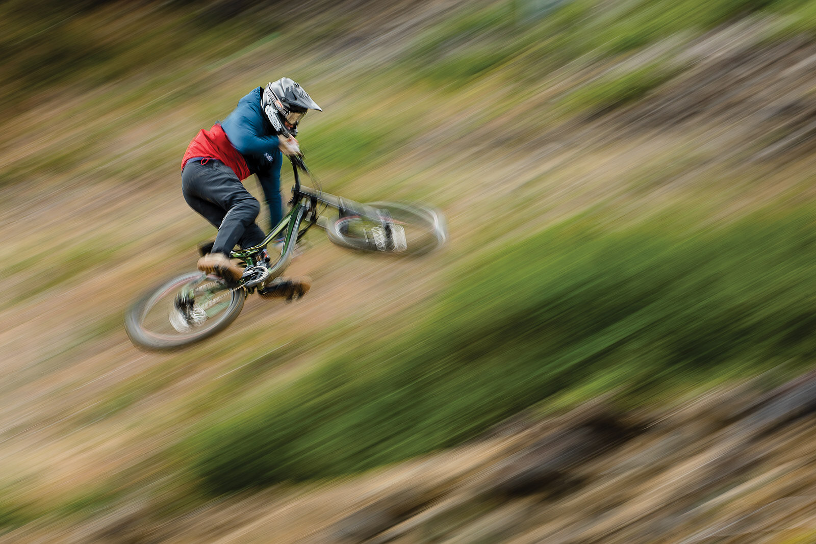
While Bend has always been well-known for cross-country trails, the gravity spirit has been around since the early days of mountain biking. But back then, finding high-speed descents demanded some creativity.
“In the late 1980s, as downhill racing was becoming popular, we struggled to find a place to train,” says 80-year-old Phil Meglassen, one of Central Oregon’s original trailbuilders and the namesake of Bend’s Phil’s Trail area. “Eventually, we found an old Jeep road climbing out of Golden Basin that was perfect for bombing on our rigid bikes. Our biggest problem wasn’t the lack of suspension, it was blurry eyes from the cold wind.”
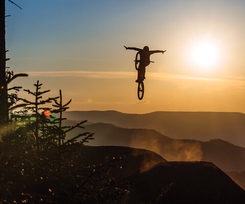
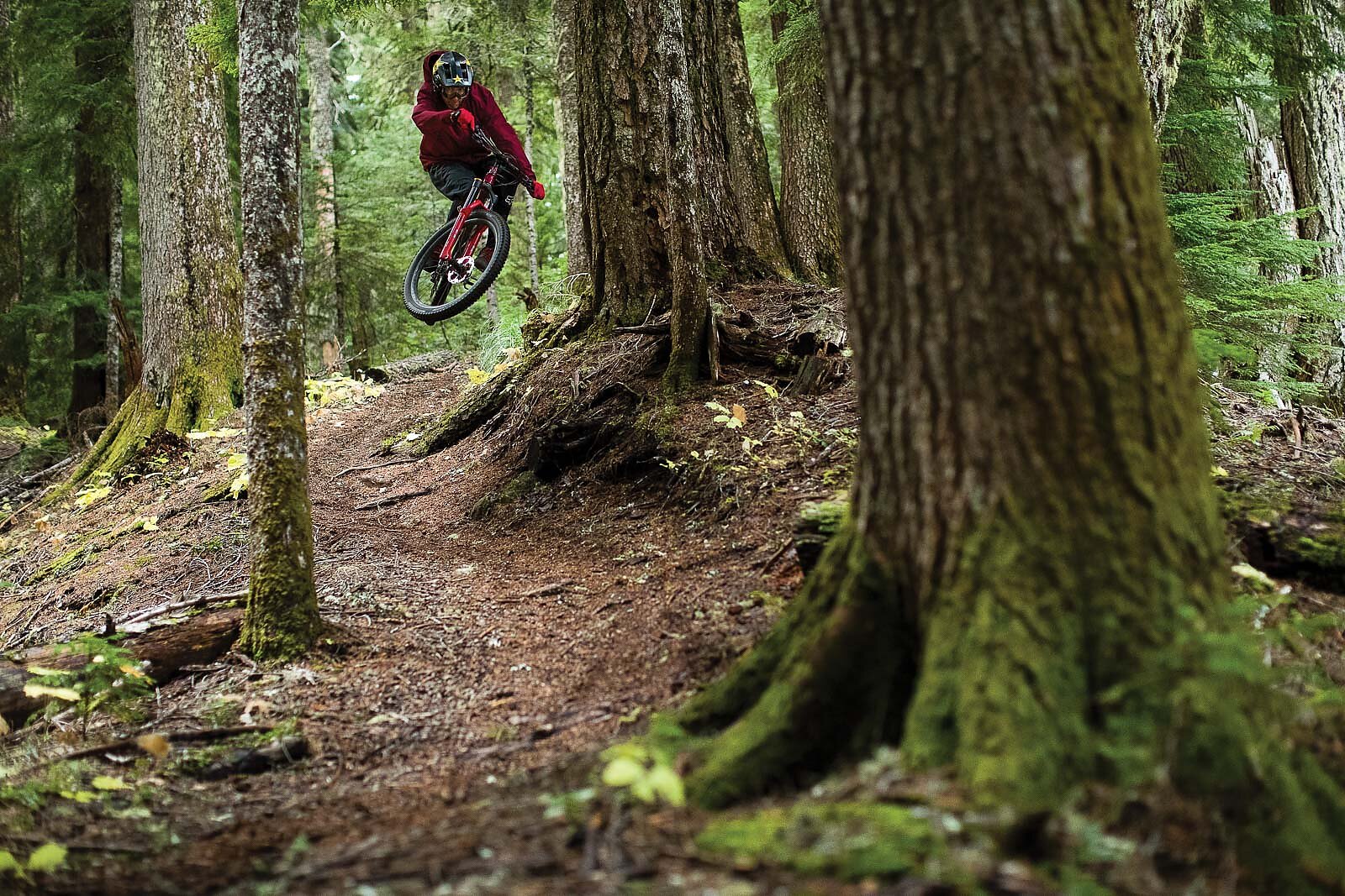
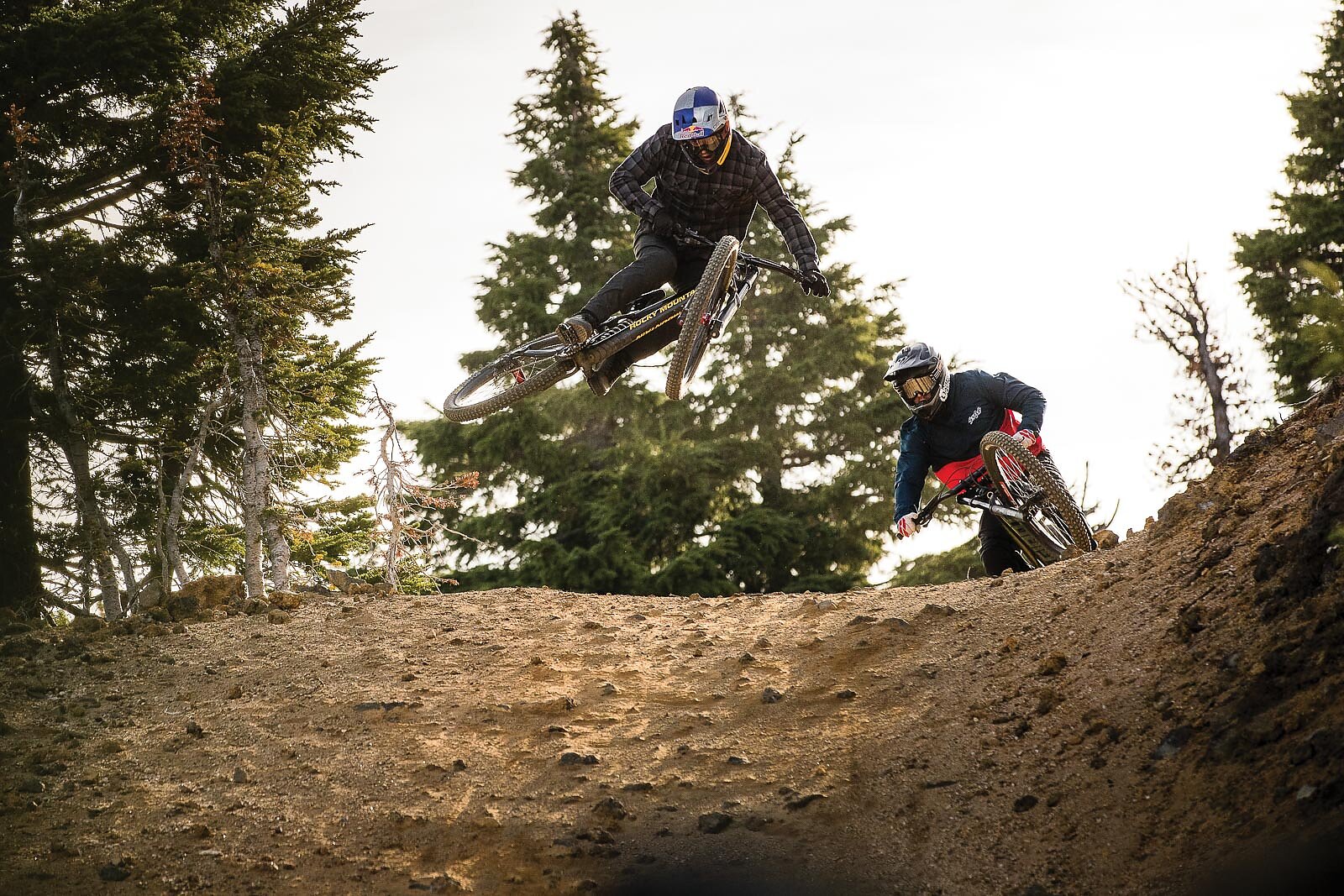
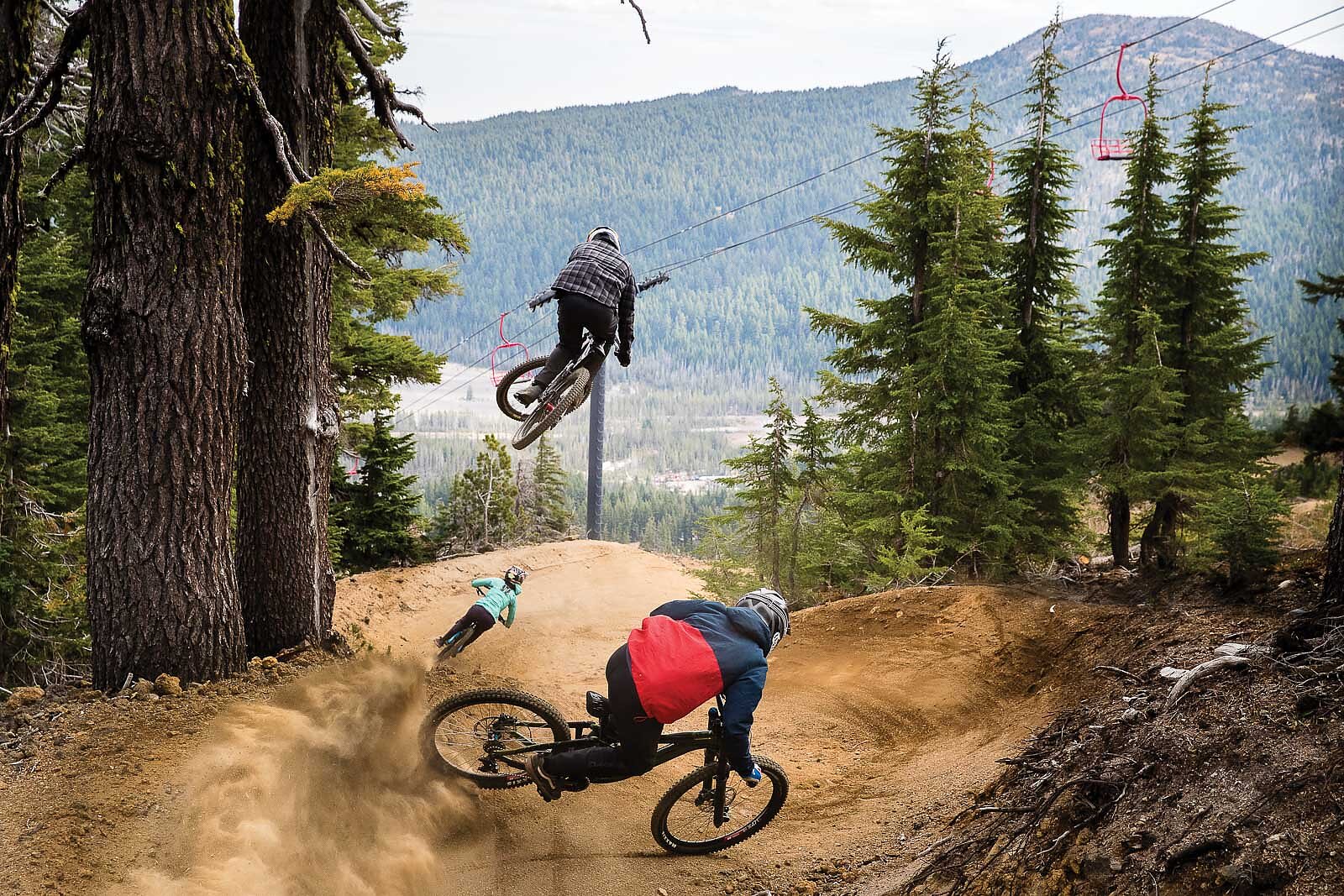
Carrying on this tradition with a modern twist, the Central Oregon gravity community had its wildest dreams come true in the summer of 2013, when nearby Mount Bachelor opened a chairlift-accessed bike park on the slopes of the ski area. Operating under a USFS permit, the bike park has developed steadily, but the creation of a proper jump trail proved problematic due to the volcanic soil, which is almost impossible to pack. Though the existing trails are an awesome, ever-changing combination of challenging pumice, silt and lava-rock surfaces, in order to create a flagship line this soil would have to be heavily processed and delicately handled. To achieve this, Mount Bachelor contracted local trailbuilder “Kiwi” Paul Lissette of Dirt Mechanics, who teamed up with local freerider Kyle Jameson of Black Sage Dirt Works to plan and build a masterpiece of jumps named Redline. Construction took almost two seasons, as material had to be mined, screened, transported, shaped and packed, all during a small window of workable moisture.
“When building Redline, Kiwi Paul and I set out to create a jump trail with endless flow, requiring little to no pedaling while providing a variety of jump styles and options around every corner,” Jameson says. “Given the challenges of building on a volcano, we managed to create our dream trail. We love seeing Redline get ridden by riders of all skill levels.”
Since Redline opened in the fall of 2019, the bike park at Bachelor has seen a decisive uptick in traffic, mostly from packs of local youth eager to send it on whatever bike they can get their dusty hands on. These youth are poised to carry the Central Oregon riding community into the future. Who knows exactly what it will look like, but as long as we’re rolling on two wheels, volcanic dust will fly.
Enjoy what you just read? Consider joining or donating to the advocacy groups and trail builders that make these areas possible.