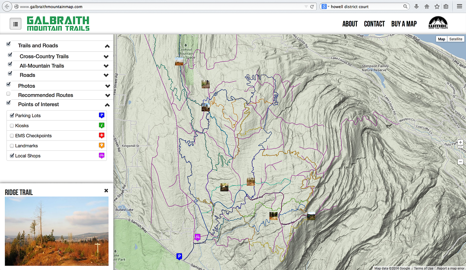
Check out the interactive map at: GalbraithMountainMap.com
Virginia J. Cleaveland, M.Ed. in environmental education candidate, is unveiling the website as the culminating project for her master’s degree. The project was created in collaboration with Whatcom Mountain Bike Coalition and Western Washington University’s Huxley College of the Environment and Computer Science Department.
The website will allow WMBC to provide an official source of information about the trails at Galbraith Mountain to local recreationists and potential visitors. It includes trail information such as length in miles; open/closed status; elevation profiles; recommended routes for trail runners and mountain bikers; photos; points of interest including local shops, parking lots, kiosks, viewpoints and emergency checkpoints; and more.
GalbraithMountainMap.com is live and available for free.
Contact: Matt Durand, president
Whatcom Mountain Bike Coalition